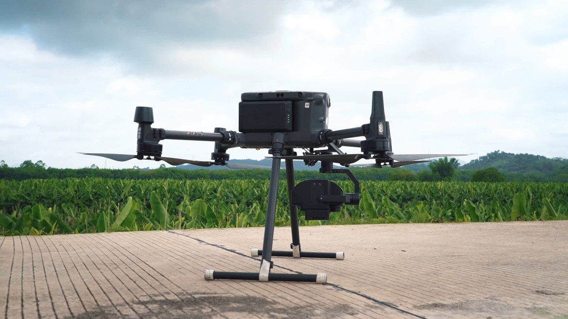
Precision Agriculture
Precision Agritech Breakthrough: Hyperspectral Drone Swarms Enable Real-Time Crop Disease Mapping
Agricultural researchers have successfully deployed synchronized drone swarms utilizing hyperspectral imaging and machine learning to detect crop pathogens days before visible symptoms emerge in the field.
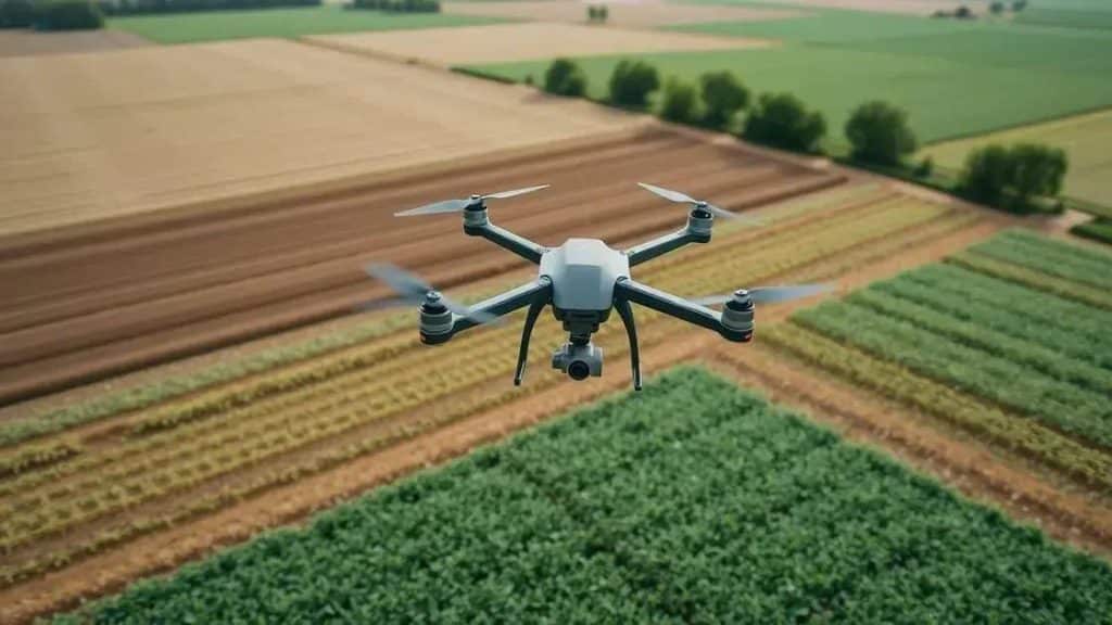
Early pathogen detection in large-scale commercial agriculture has long remained an elusive goal for agronomists, as fungal infections, viral blights, and nutrient deficiencies typically manifest visible leaf discoloration only after significant physiological damage has already occurred within the crop canopy. Addressing this critical challenge, AgriScan Technologies has commercialized an autonomous drone swarm platform equipped with high-resolution hyperspectral cameras and onboard edge-computing clusters designed to detect sub-visible plant stress across thousands of hectares in a single operational window.
The secret to this early detection capability lies in the hyperspectral sensor payload, which captures light reflectance across hundreds of narrow, continuous electromagnetic spectral bands ranging from visible light into the short-wave infrared (SWIR) spectrum. While a standard RGB camera only perceives surface color, hyperspectral imaging detects subtle shifts in plant cellular water content, pigment concentration, and photosynthetic efficiency. When a pathogen begins attacking crop cells, it alters the plant's internal cellular structure and light reflectance signature days before any external wilting or yellowing becomes observable to the human eye.
Managing and processing hyperspectral imagery in real time requires immense computational power, as a single flight sweep generates gigabytes of multi-band spectral data per minute. AgriScan solved this bottleneck by integrating edge-AI processing accelerators directly onto each drone in the swarm. As the aircraft fly in synchronized formation over expansive corn and soybean fields, the onboard neural network analyzes spectral signatures frame by frame, isolating anomalous clusters of stressed vegetation and tagging their exact geographic coordinates using precise RTK-GPS positioning.
Coordination among multiple drones operating simultaneously over the same agricultural block is managed through a decentralized ad-hoc communication protocol. Rather than relying on a centralized ground station that could suffer signal dropouts across rolling topography, the drones communicate with one another directly via secure directional radio links. If one drone encounters localized fog or sudden agricultural obstacles like irrigation pivots, it broadcasts its revised flight vector to adjacent swarm members, which dynamically re-allocate search sectors to ensure complete, uninterrupted field coverage.
Farm management enterprises utilizing the hyperspectral swarm system report unprecedented precision in targeted agrochemical application. Instead of blanket-spraying entire fields with fungicides or fertilizers to combat localized outbreaks, agronomists can generate prescription application maps derived directly from the drone swarm's sortie data. This targeted approach reduces chemical usage by up to sixty percent, lowering input costs and minimizing environmental runoff into surrounding watersheds.
As global agriculture faces increasing pressure to maximize food production while minimizing environmental footprints, advanced hyperspectral drone swarms provide a powerful tool for sustainable farm management. AgriScan is currently expanding its operational footprint across North American and South American grain belts, partnering with agricultural cooperatives to integrate aerial spectral analytics directly into automated tractor and sprayer control systems.
The broader implications for the precision agriculture sector extend well beyond the immediate technical achievement. Industry analysts note that this deployment represents a convergence of several previously separate technological streams — advanced materials science, edge computing, and autonomous flight control — into a single integrated platform. The fact that these systems can now operate reliably in real-world conditions, rather than only in controlled test environments, signals a maturation of the unmanned aviation industry that has been anticipated for over a decade.
Safety certification and regulatory compliance remain among the most significant hurdles for widespread adoption. Aviation authorities worldwide have been working to establish clear operational frameworks that balance innovation with public safety. The platform described here has undergone extensive testing under various regulatory regimes, including controlled airspace trials, risk assessment evaluations, and operational safety case reviews. These regulatory milestones are as important as the technical specifications, because they determine whether a technology can transition from experimental novelty to routine commercial deployment.
The economic case for this technology becomes more compelling when examined over extended operational timelines. While initial acquisition costs may exceed those of traditional methods, the cumulative savings from reduced labor requirements, decreased downtime, and prevention of catastrophic failures create a compelling return on investment. Organizations that have integrated these systems into their standard operational workflows report that the total cost of ownership over a three-year period is significantly lower than maintaining equivalent conventional capabilities, particularly when factoring in the avoided costs of accidents, delays, and environmental damage.
Looking ahead, the development roadmap for this platform includes several enhancements that could further expand its operational utility. Engineers are exploring integration with complementary sensor technologies, improved machine learning models for real-time decision making, and enhanced communication protocols that would allow seamless coordination with other autonomous systems. The vision is not simply a better individual aircraft, but a connected ecosystem of unmanned platforms that can share data, coordinate missions, and collectively adapt to changing environmental conditions without human intervention.
Environmental considerations play an increasingly central role in the design and deployment of unmanned aerial systems. The shift away from fossil-fuel-dependent manned aircraft toward electric and hydrogen-powered drones represents a meaningful reduction in carbon emissions per mission. Additionally, the reduced acoustic footprint of these platforms minimizes disturbance to wildlife populations in sensitive ecological zones, an important factor for operations near protected habitats and marine reserves. The sustainability benefits extend to reduced ground vehicle deployments, as drone-based inspections eliminate the need for trucks and heavy equipment to access remote inspection sites.
Training and workforce development represent another critical dimension of this technological transition. Operating and maintaining these advanced systems requires specialized skills that differ significantly from traditional aviation maintenance. Organizations deploying these platforms have invested substantially in training programs, certification curricula, and simulation-based learning environments to ensure that their personnel can operate safely and effectively. The emergence of this new professional skill set reflects the broader transformation of the aviation workforce as unmanned systems become increasingly prevalent across commercial and industrial sectors.
Related briefings