Climate Science
Sub-Surface Ice-Penetrating Radar Drones Map Glacial Hydrology and Climate Dynamics
Glaciologists are deploying specialized low-frequency radar payloads on long-range drones to map internal sub-glacial water channels and bedrock structures without risking human field researchers.

Understanding the rapid melting dynamics of polar ice sheets and alpine glaciers requires precise subsurface mapping of internal drainage networks, sub-glacial water channels, and bedrock topography. Traditionally, glaciologists towed heavy radar sleds across treacherous crevassed ice fields or utilized expensive manned twin-engine aircraft, exposing scientific teams to severe environmental hazards. Revolutionizing polar research, ArcticScan Technologies has successfully completed field validation of a low-frequency, ice-penetrating radar payload mounted on ruggedized long-range fixed-wing drones, enabling safe, high-resolution internal mapping of active glacial structures.
The core engineering achievement involves miniaturizing high-power impulse radar transmitters into a lightweight payload module capable of emitting deep-penetrating electromagnetic pulses at frequencies ranging from ten to fifty megahertz. As the drone flies along pre-programmed grid lines above shifting ice sheets, the low-frequency radio waves penetrate hundreds of meters of glacial ice, reflecting off density boundaries, water-filled conduits, and the underlying bedrock interface. An onboard data acquisition system records the precise return waveforms, constructing detailed three-dimensional cross-sections of the internal glacier structure.
Operating in extreme polar environments characterized by sub-zero temperatures, intense surface glare, and unpredictable katabatic winds required specialized airframe hardening. The drone features heated pitot tubes, ceramic-coated composite control surfaces, and dual-redundant satellite communication links that ensure reliable telemetry transmission even when operating far beyond visual line of sight across remote Greenlandic fjords.
Climatologists reviewing the high-resolution subsurface maps report unprecedented clarity regarding how meltwater lubricates bedrock sliding friction, accelerating ice discharge into the ocean. By eliminating the high risks and high costs associated with manned polar aircraft surveys, ice-penetrating radar drones are providing critical empirical data for global sea-level rise modeling and climate change forecasting.
The broader implications for the climate science sector extend well beyond the immediate technical achievement. Industry analysts note that this deployment represents a convergence of several previously separate technological streams — advanced materials science, edge computing, and autonomous flight control — into a single integrated platform. The fact that these systems can now operate reliably in real-world conditions, rather than only in controlled test environments, signals a maturation of the unmanned aviation industry that has been anticipated for over a decade.
Safety certification and regulatory compliance remain among the most significant hurdles for widespread adoption. Aviation authorities worldwide have been working to establish clear operational frameworks that balance innovation with public safety. The platform described here has undergone extensive testing under various regulatory regimes, including controlled airspace trials, risk assessment evaluations, and operational safety case reviews. These regulatory milestones are as important as the technical specifications, because they determine whether a technology can transition from experimental novelty to routine commercial deployment.
The economic case for this technology becomes more compelling when examined over extended operational timelines. While initial acquisition costs may exceed those of traditional methods, the cumulative savings from reduced labor requirements, decreased downtime, and prevention of catastrophic failures create a compelling return on investment. Organizations that have integrated these systems into their standard operational workflows report that the total cost of ownership over a three-year period is significantly lower than maintaining equivalent conventional capabilities, particularly when factoring in the avoided costs of accidents, delays, and environmental damage.
Looking ahead, the development roadmap for this platform includes several enhancements that could further expand its operational utility. Engineers are exploring integration with complementary sensor technologies, improved machine learning models for real-time decision making, and enhanced communication protocols that would allow seamless coordination with other autonomous systems. The vision is not simply a better individual aircraft, but a connected ecosystem of unmanned platforms that can share data, coordinate missions, and collectively adapt to changing environmental conditions without human intervention.
Environmental considerations play an increasingly central role in the design and deployment of unmanned aerial systems. The shift away from fossil-fuel-dependent manned aircraft toward electric and hydrogen-powered drones represents a meaningful reduction in carbon emissions per mission. Additionally, the reduced acoustic footprint of these platforms minimizes disturbance to wildlife populations in sensitive ecological zones, an important factor for operations near protected habitats and marine reserves. The sustainability benefits extend to reduced ground vehicle deployments, as drone-based inspections eliminate the need for trucks and heavy equipment to access remote inspection sites.
Training and workforce development represent another critical dimension of this technological transition. Operating and maintaining these advanced systems requires specialized skills that differ significantly from traditional aviation maintenance. Organizations deploying these platforms have invested substantially in training programs, certification curricula, and simulation-based learning environments to ensure that their personnel can operate safely and effectively. The emergence of this new professional skill set reflects the broader transformation of the aviation workforce as unmanned systems become increasingly prevalent across commercial and industrial sectors.
Industry observers caution that while the technical progress is impressive, sustained success will depend on factors that extend beyond engineering excellence. Public trust, transparent safety reporting, and meaningful engagement with communities affected by drone operations are essential for long-term acceptance. The most successful programs are those that treat community concerns as legitimate design requirements rather than public relations obstacles. This includes thoughtful flight path planning to minimize overflight of residential areas, clear communication about mission purposes, and accessible channels for public feedback and incident reporting.
Related briefings
More from
Climate Science

Industrial Logistics
AeroHytech Deploys Hydrogen-Powered Heavy-Lift Cargo UAVs for Remote Alpine Infrastructure Supply
Breaking endurance barriers in extreme environments, AeroHytech has officially commercialized a hydrogen-fuel-cell heavy-lift drone capable of sustained multi-hour freight missions across high-altitude terrain.
Renewable Energy Inspection
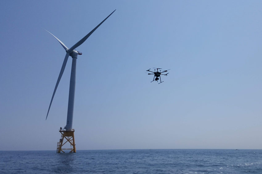
Autonomous Offshore Wind Turbine Inspection Fleets Operationalize Edge AI and LiDAR Navigation
Maritime energy operators are now deploying fully autonomous drone fleets equipped with solid-state LiDAR and onboard neural processors to inspect offshore wind turbine blades without human pilot oversight.
Precision Agriculture
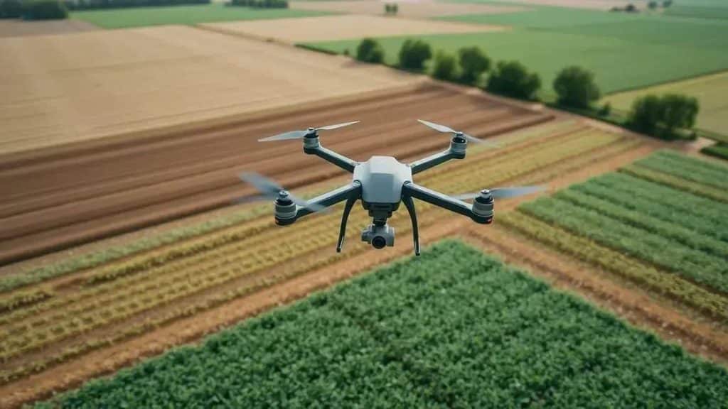
Precision Agritech Breakthrough: Hyperspectral Drone Swarms Enable Real-Time Crop Disease Mapping
Agricultural researchers have successfully deployed synchronized drone swarms utilizing hyperspectral imaging and machine learning to detect crop pathogens days before visible symptoms emerge in the field.